Webcams
Local Webcams
Currently there are three active webcams in Arthur's Pass village looking north and west from the same location (Rough Creek), and a Transit NZ webcam looking south through the Village. A further two webcams are situated at the Arthur's Pass Radio Repeater site (1150m) pointing east towards Temple Basin ski-field, and south towards Arthur's Pass Village.(Move mouse over image to view image text)
NORTHERN VIEW: The above image represents a HD wide angle view looking north from Arthur's Pass Village towards Arthur's Pass proper (920m) with ridges running west (left) towards Avalanche Peak and Mt Rolleston (Rome & Goldney). Treeline is at about 1300m. The image is updated every 15 minutes. Click Here to open a 14 hour timelapse.
Click Here to view full size image (1920x1080 200KB).
(Move mouse over image to view image text)
WESTERN VIEW: The above image represents a HD wide angle view looking west from Arthur's Pass Village towards Lyell Peak (1828m) with ridges running south (left) towards Mt Bealey and north (right) towards Avalanche Peak. Treeline is at about 1300m. The image is updated every 15 minutes. Click Here to open a 14 hour timelapse.
Click Here to view full size image (1920x1080 350KB).
(Move mouse over image to view image text)
TEMPLE BASIN VIEW: The above image represents a HD wide angle view looking east from the Arthur's Pass Repeater Site towards Temple Basin with Phipps Peak (left), Mt Temple, Blimit, Mt Cassidy (right). The image is updated every 15 minutes. Click Here to open a 14 hour timelapse.
Click Here to view full size image (1920x1080 200KB).
Click Here to view weather station data associated with this camera location.
(Move mouse over image to view image text)
BEALEY VALLEY VIEW: The above image represents a HD wide angle view looking south from the Arthur's Pass Repeater Site towards Arthur's Pass Village with Mt Cassidy (left). The image is updated every 15 minutes. Click Here to open a 14 hour timelapse.
Click Here to view full size image (1920x1080 200KB).
Click Here to view weather station data associated with this camera location.
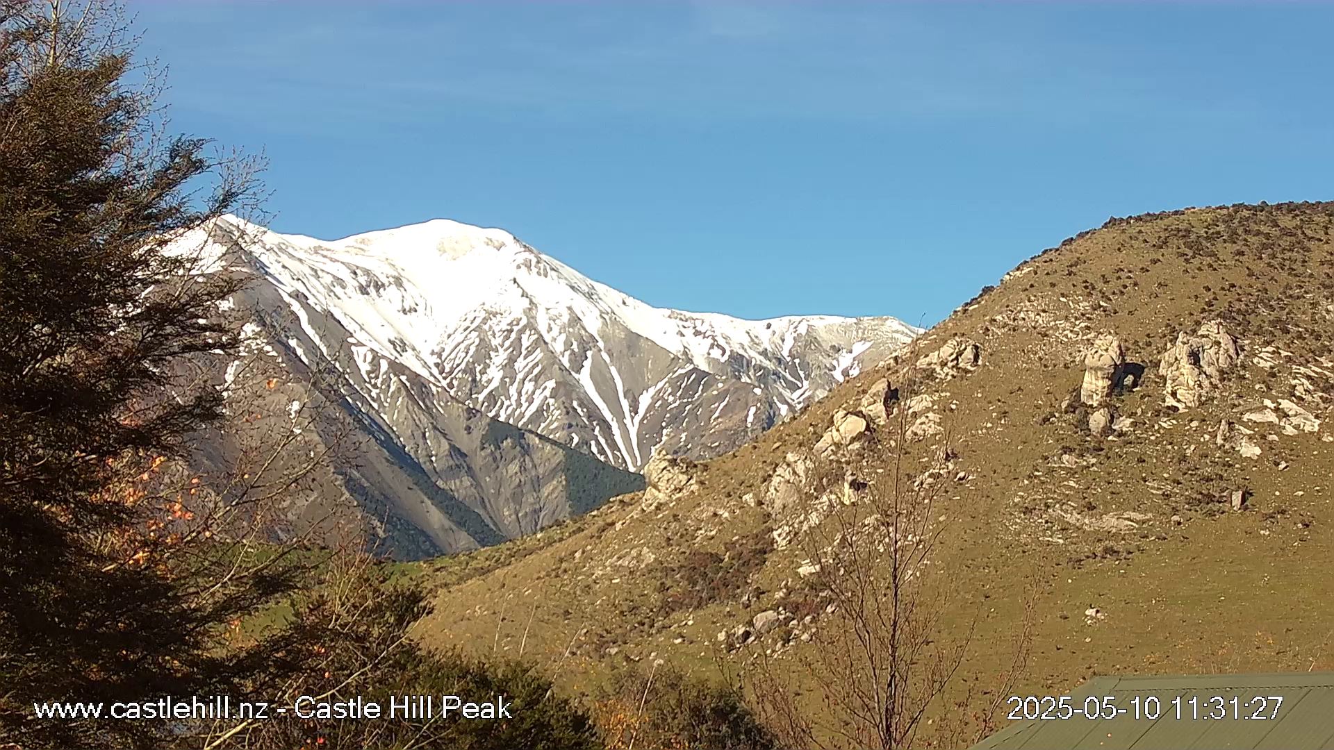
CASTLE HILL PEAK VIEW: The above image is provided with permission by www.castlehill.nz. The view is Castle Hill Peak 1998m (Torlesse Range) from Castle Hill Village.
MT CLOUDESLEY VIEW: The above image is provided with permission by www.castlehill.nz. The view is Mt Cloudesley 2107m (Craigieburn Range) from Castle Hill Village.
The above image represents a view looking south from Arthur's Pass Village looking down the Bealey Valley towards the Black Range. Treeline is at about 1400m. The image is updated every 5 minutes. Clicking on the image will open a new window containing a 24 hour timelapse.
Note: Should you find a dead webcam link please let Graeme know at... graemek@arthurspass.com.
Local Skifield Webcams
Local Area Webcams
GeoNet Webcams
- Mt Ngauruhoe
- Mt Ruapehu & Mt Ngauruhoe
- Mt Ruapehu North
- Mt Ruapehu South
- Mt Tongariro
- Te Maari Crater
- Mt Taranaki (Egmont)
- Raoul Island Crater
- White Island - Main Crater Floor
- White Island - Main Crater Rim
- White Island - West Crater Rim
- White Island View (Whakatane)
Other New Zealand Webcams
- Aoraki/Mt Cook (The Hermitage)
- Aoraki/Mt Cook (Glentanner view)
- Port Hills (Summit Road)
- Christchurch (Cashmere)
- Greymouth Airport
- Greymouth
- Hanmer Springs
- Hokitika 1
- Franz Josef Glacier (multiple cams)
- Fox Glacier (multiple cams)
- Queenstown webcams
- Tekapo
- Wanaka
Overseas Webcams
- Scott Base
Antarctic NZ - Mt St Helens - USA
- Electric Peak - Montana USA (Yellowstone NP)
- Mt Etna - Sicily - Italy
- Mont Blanc Range webcams - France
- Aussie (Vic) Snowcams
- Windy.com webcams
New Zealand
The above image is provided by GeoNet.org.nz. The view is of Mt Ngauruhoe (active volcano) in the central plateau region of NZ's North Island.
The above image is provided by GeoNet.org.nz. The view is of Mt Ruapehu (active volcano) in the central plateau region of NZ's North Island.
The above image is provided by GeoNet.org.nz. The view is of Mt Taranaki (dormant volcano) in the southwest region of NZ's North Island.
Other interesting parts of the World...
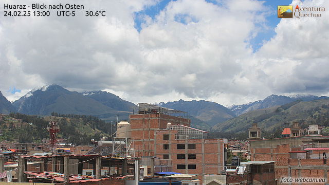
Huaraz, Peru.
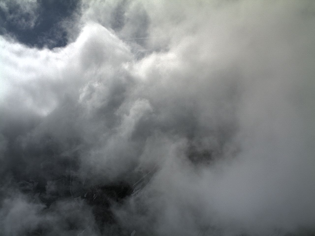
The above image is of the Courmayeur region in the Italian Alps (Mont Blanc - Valle d'Aosta).